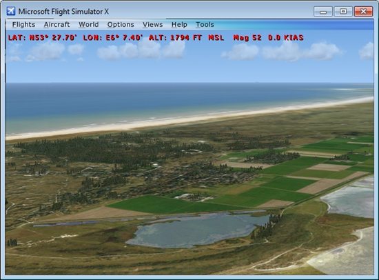
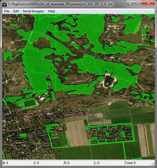
Tonight I was able to fix the remaining bugs in my tool to generate the autogen forests from the OpenStreetMap data. One of them was that I didn’t know that in the AGN file all polygons need to be closed (first vertex the same as the last vertex). Below are some screenshots of how it looks in the Annotator tool and in FSX now. The photo scenery I use is the NL2000 scenery of the Netherlands.
Now that the forests are working, I am going to move to the houses. Let’s see what I can do with the house footprints from the OpenStreetMap data…
 SceneryDesign.org

Again, looks great Arno!!
How does the tool know which kind of forest to produce from the Shapefile??
After forests and buildings have been cracked I’d say roads and AI road traffic in particular would be brilliant! Some means of turning a single line in a Shapefile into a multi-lane highway would be very much appreciated!
You can specify the GUID you want for the forest in the configuration file. And if you want different types based on some attribute of the data that is also possible, but the OSM data only has one type of forest.
We hope this tool for oxy cutting MSFS2004
Hi, do you mean you also want to use it for FS2004? At the moment I only support the FSX AGN format. But maybe I can add FS2004 support later on as well.